Afton Canyon
Afton Canyon: Mojave River and Mojave Road
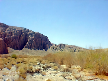
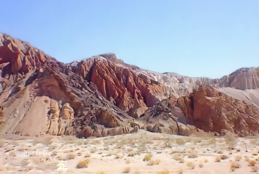
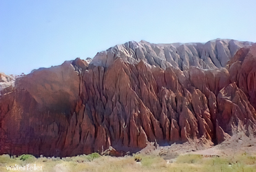
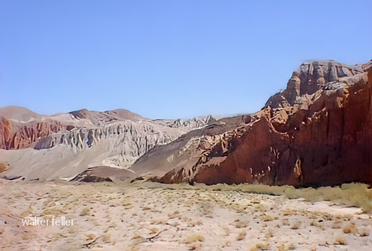
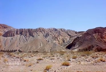
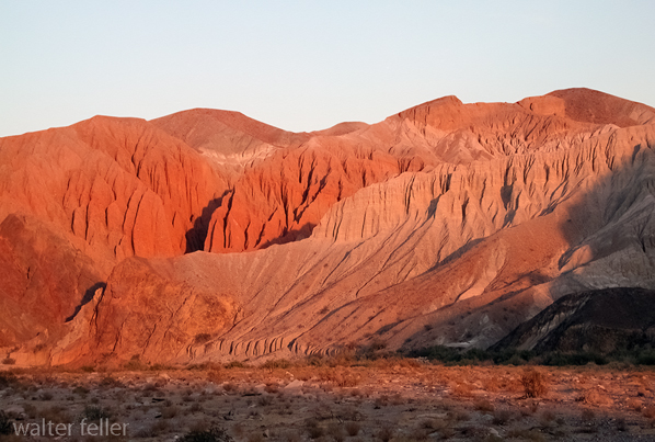
Known as the Grand Canyon of the East Mojave, Afton Canyon is one of the rare places where the Mojave River flows above ground year-round. Cottonwoods, willows, marshy pockets, and streamside grasses stand in sharp contrast to the open desert, colorful canyon walls, and dry washes beyond.Natural History
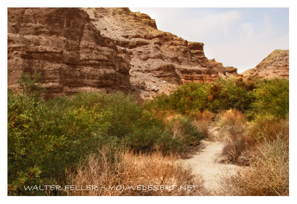
Afton Canyon is the outlet of ancient Lake Manix, a large Pleistocene lake once fed by the Mojave River east of Barstow. During a cooler, wetter Ice Age, Lake Manix filled much of the Manix Basin. Eventually, water overtopped its northeastern rim and cut an outlet toward Soda Lake.
The initial breach may have been rapid, but later floods and continuing erosion deepened the canyon. Its walls expose lake sediments, alluvial deposits, and older rock layers that preserve the record of a Mojave Desert very different from the one seen today.
The Mojave River travels underground through much of its course. At Afton Canyon, narrowing canyon walls and relatively impermeable materials bring the water to the surface. The stream may be small and clear during ordinary conditions, but it can become a destructive flood after major storms in the Mojave River watershed.
Human History
Water made Afton Canyon important long before modern roads and railroads. Archaeological sites in and around the canyon show a long record of Native use. The Mojave River corridor provided water, plant foods, game, and a natural travel route between the Colorado River country and the inland valleys.
The trails later known as the Mojave Road were used by the Vanyume Serrano people of the Mojave River region, as well as by the Mojave and Chemehuevi people farther east. In 1776, Father Francisco Garces traveled the route and left the first known European written account. Jedediah Smith crossed the region in 1826; Antonio Armijo's Old Spanish Trail expedition followed in 1829-30; and John C. Fremont traveled the corridor in 1844 with Kit Carson scouting ahead.
During the 1850s and 1860s, the old trail became a military wagon road. Camp Cady, established on the Mojave River in 1860, served as an important military post and a key route for travel across the eastern Mojave. The road remained a principal overland connection until railroads replaced wagon traffic as the main means of moving freight and passengers across the desert.
The modern Mojave Road is a rough, largely unmaintained four-wheel-drive route. Though it does not follow every part of the historic alignment, it still reveals its close relationship to the Mojave River at Afton Canyon.
Floods in Afton Canyon
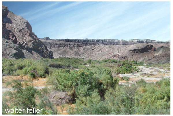
Afton Canyon often seems quiet, with clear water moving beneath willows and cottonwoods. But the calm is temporary. Rare, powerful floods have formed the canyon as surely as the Mojave River's usual underground flow.
Much of the river's water sinks into the sandy channel before reaching the lower Mojave. But after major winter storms or intense summer rainfall, floodwater can move far downstream. Between 1930 and 1972, only 18 floods at the Forks of the Mojave produced flow as far as Barstow. The great flood of 1938 produced a peak flow of 64,300 cubic feet per second at Barstow.
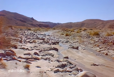
Floods repeatedly reshape Afton Canyon. They scour vegetation, shift channels, deposit sand and gravel, undercut banks, and alter the places where water reaches the surface. A photograph taken at the head of the canyon in March 1863, shortly after the 1862 flood, shows a broad, scoured river channel with little streamside vegetation.
The 1938 flood was another defining event. High water damaged the railroad route through the canyon and destroyed earlier bridges. Flooding remains part of the canyon's natural process. It can damage roads and crossings, but it also recharges groundwater, creates new ponds and side channels, and opens fresh ground for cottonwoods, willows, mesquite, and wetland plants.
Railroad Through Afton Canyon
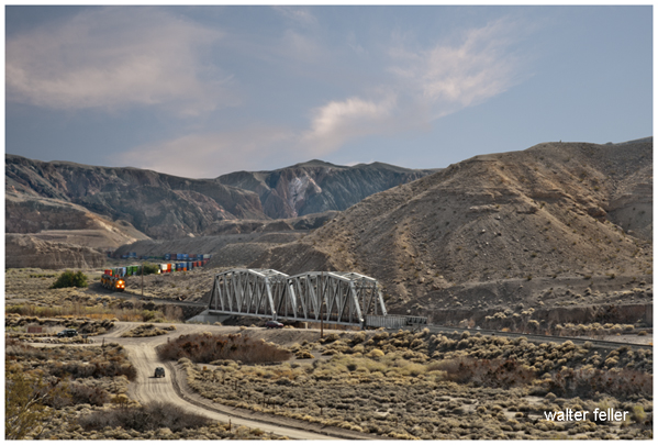
The railroad gave Afton Canyon a new role at the beginning of the twentieth century. In 1904, the San Pedro, Los Angeles & Salt Lake Railroad built its route through the canyon as part of a new rail connection between Southern California, Las Vegas, and Salt Lake City. Through service reached Las Vegas in 1905.
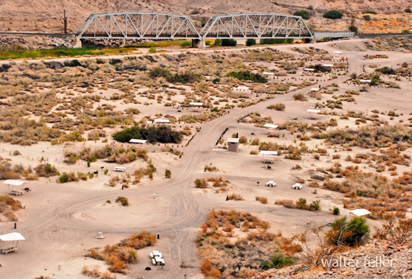
Afton became a small but necessary railroad station beside the Mojave River. A deep well supplied water for steam locomotives and the station community. Bridge supervisors, section crews, telegraphers, track walkers, and pump operators lived or worked there, maintaining a line exposed to flash floods, shifting sand, and the confined canyon passage.
The route required bridges across the Mojave River and a tunnel through the canyon wall. A freight wreck blocked the Afton Pass tunnel in 1913. The tunnel was later daylighted in 1957, leaving an open cut through the rock.
Union Pacific acquired full ownership of the Salt Lake Route in 1921. The former Afton station is gone, but the rail line remains active. Freight trains still pass through the canyon between Barstow and Las Vegas, crossing the Mojave River where wagon travelers once followed the old Mojave Road.
The railroad physically and economically changed Afton Canyon. Its grade, bridges, wells, and flood-control works altered portions of the river corridor, while the small station brought a short-lived working community into a place otherwise known for water, travel, and isolation.
Visiting Afton Canyon
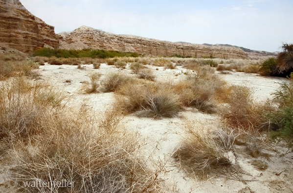
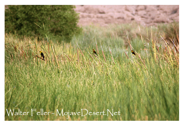
Afton Canyon is one of the best places to experience the Mojave River at close range. Birdlife gathers in the willows and cottonwoods, while the canyon walls, washes, and changing desert light offer opportunities for photography, hiking, and quiet exploration.
Camping, wildlife viewing, horseback riding, hunting where lawful, rockhounding, and vehicle touring are among the common activities. Roads and stream crossings can change quickly after storms. Visitors should carry sufficient water, food, a first-aid kit, recovery gear, and a current map, and should check weather and road conditions before leaving pavement.
Much of the surrounding country is public land, but private and railroad property occur nearby. Stay on designated routes, respect closures, and verify current regulations with the Bureau of Land Management before a trip.
Sources: BLM Afton Canyon history, USGS on Afton Canyon and Lake Manix, USGS Mojave River flood analysis, and Richardson's history of Afton Station.
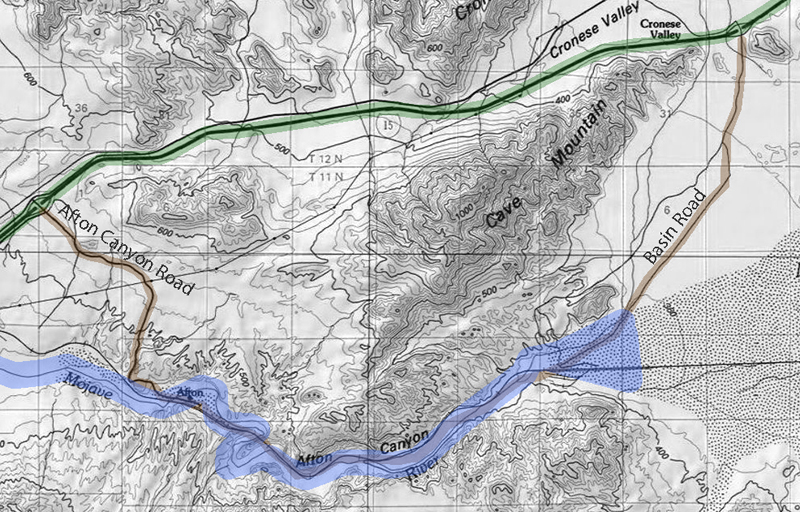
Click on map for larger view
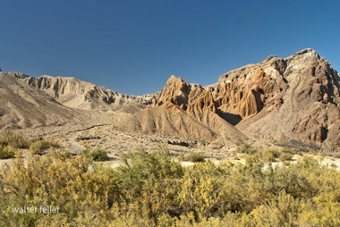
Photo Gallery
Regional Ecology
Mojave River
Arbuckle Mine
Mojave Road
Lake Manix
Interstate 15
Afton Canyon, with its striking beauty and rich history, lies 37 miles Northwest of Barstow stands out as a unique gem in the Mojave Desert.The fact that the Mojave River flows above ground there, carving out the colorful canyon walls, makes it a rare spot in an otherwise dry desert. The canyon's deep connection to both natural and human history adds to its charm, whether you're interested in geology, the ancient drainage of Lake Manix, or following in the footsteps of early explorers along the old Mojave Road.
Barstow - Interstate 15 - Area of Critical Environmental Concern - riparian - Lake Manix - Jedediah Smith - Kit Carson - John Charles Fremont - Mojave Road - Fort Mojave - Colorado River - Needles - Camp Cady - Southern Pacific Railroad - Mojave River and Associated Lakes - Changing Climates and Ancient Lakes