Highway 58
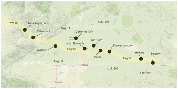
State Highway 58 (SR 58) in California, which traverses the Mojave Desert, passes through a range of interesting and diverse points of interest. Here's a look at some of the notable stops and attractions along this route:
1. Tehachapi: Famous for the Tehachapi Loop, a remarkable engineering feat where the railroad line loops over itself to gain elevation. The area is also known for its wind farms, with hundreds of wind turbines dotting the landscape.
2. Mojave: A small town known for the Mojave Air and Space Port, which includes a large aerospace testing and development facility. This area is significant for its contributions to private spaceflight and aviation research.
3. Edwards Air Force Base: Located near SR 58, this is a major U.S. Air Force base known for its role in testing and developing advanced aircraft. The base has a rich history in aviation and space exploration.
4. Barstow: A key junction where SR 58 meets Interstate 15, Barstow is known for its rich mining history and as a gateway to the Mojave National Preserve. Attractions include the Route 66 Mother Road Museum and the Desert Discovery Center.
5. Calico Ghost Town: Near Barstow, Calico is a former mining town that has been restored as a county park. It's a popular tourist attraction, offering a glimpse into California's mining history.
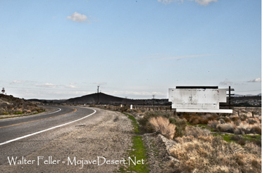
6. Natural Scenery: The highway offers views of diverse landscapes, including the Sierra Nevada mountains, the Tehachapi Mountains, and vast desert plains. The scenic beauty of the area is a significant attraction in itself.
These points of interest highlight the cultural, historical, and natural diversity found along SR 58. The route offers a unique cross-section of California's heritage, from its agricultural and industrial roots to its role in the aerospace industry and the preservation of its natural landscapes.
Traveling from Barstow, west to Tehachapi